Map of the Seat of War - Battles of July 18th & 21st 1861
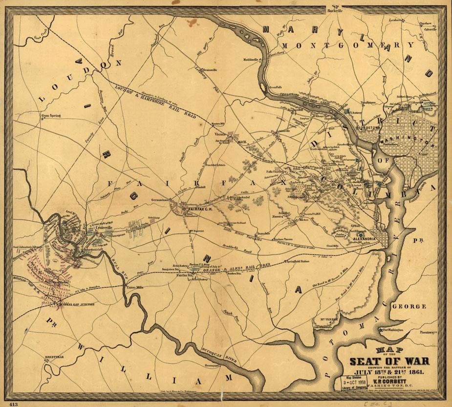
Map of the seat of war showing the battles of July 18th & 21st 1861
Library of Congress
Historical map of Virginia and Washington, D.C.
Map of the seat of war showing the battles of July 18th & 21st 1861 by V.P. Corbett
[Washington, 1861]
Scale ca. 1:115,000.
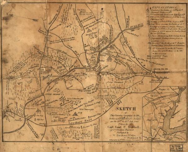
Reference: LC Civil War Maps (2nd ed.), 563.2
Houses of Vanderweckins, Cary, and Hall in northern Virginia are identified as having been “burnt by rebels Sept. 13th.”
Description derived from published bibliography.
Library of Congress Geography and Map Division Washington, D.C. 20540-4650
Learn More: The Battle of Bull Run
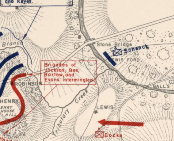

Related Battles
Battle Facts
Fairfax County and Prince William County, VA | July 21, 1861
Result: Confederate Victory
Estimated Casualties
4,878
Union
2,896
2,896
Confed.
1,982
1,982