Antietam | Bloody Lane, S.G. Elliott Map Section
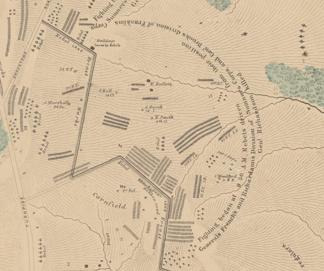
The II Corps divisions of Brig. Gens. William French and Israel Richardson moved forward to support John Sedgwick’s division as it assaulted the West Woods. General George Sears Greene’s division from the XII Corps held the open ground near the Dunker Church, so French and Richardson advanced on Greene’s left after becoming disconnected from Sedgwick. There, they met Gen. D. H. Hill’s division taking cover in a fence-lined sunken farm road. Laying low behind fence rails, Hill’s men inflicted hundreds of casualties on the Yankees as they advanced over open ground in front of the road. Confederate artillery around the Piper farm also caused heavy casualties, including mortally wounding Richardson. The Irish Brigade under Gen. Thomas F. Meagher led Richardson’s charge on the sunken lane, suffering 540 casualties. Rebel brigade commander Brig. Gen. George B. Anderson was wounded defending the “Bloody Lane,” dying later following an amputation.
This section of the Elliott Antietam Burial Map shows the ferocity of the fighting in the sector. Union and Confederate soldiers were buried in mass in the open field across which the Federals assaulted the Sunken Road. Approximately 1,284 human and 77 horse burials are represented in this section of the map as well as 34 artillery pieces.
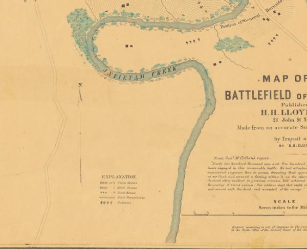
The map is housed in the collection of the New York Public Library, and you can download a high-resolution copy of the map from their website.
Related Battles
12,401
10,316