Map The Civil War Lesson Plan
Grades: 4-7
Length of Time: Approximately three 50 minute class meetings
Goals:
- Students will use problem solving skills to develop an original map.
- Students will develop an understanding of the skills of the early map makers and the map maker’s importance in the American Civil War.
Objectives:
- Students will be able to use multiplication and division to solve for distance
- Students will be able to use a measurement tool to measure distance in inches
- Students will be able to look at the landscape around them and depict it on a map
- Students will draw a landscape with its landmarks to scale on graph paper
- Students will make orally state or draw where items will be located based on their maps
Materials:
- A ruler, yardstick, or measuring tape
- A pencil and paper to write on
- Colored pencils, colored markers, or crayons
- Graph paper
- A friend to be the general
Anticipatory Set/Hook:
When the Civil War generals moved throughout the country how do you think they knew where to go? Where there roads like there are now? Could they stop at the gas station and buy a map or ask for directions? When they ended up in the middle of a field how did they know where to camp or where the best place was to bring their cannons?
Procedure:
(To be read aloud or downloaded and printed for students)
Introduction
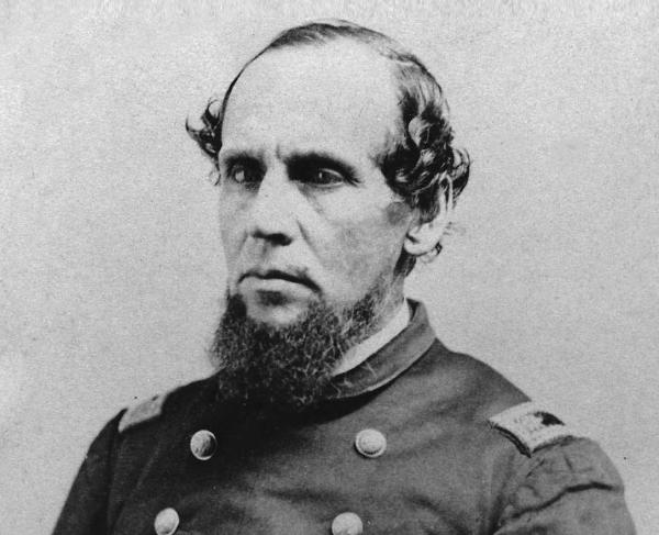
Mapmakers like Jed Hotchkiss were very important to Civil War generals. The generals used maps to figure out how to move their armies from one place to another. They used maps to try to trap the enemy forces against rivers or high bluffs. If the maps were wrong, the army could be late getting to a battle…or worse! Jed Hotchkiss did not have modern technology to help him. He had to draw what he saw. Often, for accuracy, he would pace off the distance between two points to get a precise measurement.
In this activity, you will be a mapmaker. Your job is to survey the land for your general so you can pick sheltered places for your army to camp and open areas where they can march and fight.
Activity
- Pick a place you want to map. Your backyard, school playground, or a nearby park are good examples.
- Make a rough sketch of the place you are mapping. Draw in everything you see, like trees, fences, and streams. Try to notice anything that might give your army shelter or let them hide from the enemy. Is there any ground they would not be able to haul heavy wagons or cannon over?
- Pacing is one of the ways Civil War mapmakers used to measure distance. It's important to be accurate. (If you're wrong when you pick the places to put your cannon, they might be too far away to hit the enemy.) To measure distance by pacing, first figure out the average length of your step. Mark a point on the ground and walk to another point a few yards away. (Try to walk with your steps the same length.) Count how many steps you take while you walk between the two points. Write down the number of steps on your paper. Now use your ruler, yardstick, or measuring tape to measure the exact distance between the points in inches. On your paper, divide the number of inches by the number of steps to get the length (in inches) of your step.
Number of Inches x Number of Steps = Number of Inches in Your Step - Now measure the distance to all the items you have drawn in your sketch by walking the distance between them and counting your steps. Make sure you write down the number of steps on your sketch as you measure.
- For each measurement, multiply the number of steps by the number of inches in your step to get the number of inches between each item on your sketch.
Number of Inches in Your Step x Number of Steps = Number of Inches
Now divide the number of inches by 12 to get the number of feet. (There are 12 inches in 1 foot.)
Number of Inches / 12 = Number of Feet - Draw your sketch again, but this time, use graph paper and draw it to scale. Let each square on the graph paper be equal to 12 inches or 1 foot. For example, if a tree is 36 inches or 3 feet away from a sidewalk, leave 3 squares of graph paper between where you draw the tree and where you draw the sidewalk. Draw each item on your sketch in different colored pencils, crayons, or markers.
- Now give your map to the general (your friend) and have him or her use it to decide where the army will camp and what part of the ground would make a good battlefield. For the campsite, you can use the map to decide where to put your army's guards, where horses should be kept, where your men could get water or firewood, and where they should dig latrines. For the battlefield, you can use the map to decide how to place your men. Is there high ground they could take advantage of? Where should cannon go? Is there flat, open ground for cavalry? Will your men have trees to shield them from bullets or should they dig earthworks?
Closure:
- What else can you decide from your map?
- Did you learn anything about map-making you did not expect?
Assessment:
Students will meet the objectives by successfully completing a map of their chosen landscape and placing the campsite as well as choosing the battle site.
Modification Ideas:
- Have students create maps as partners or in small groups
- Choose one space together and work as a class using the teacher’s strides as the measurement.
- Have the students use calculators to complete the arithmetic